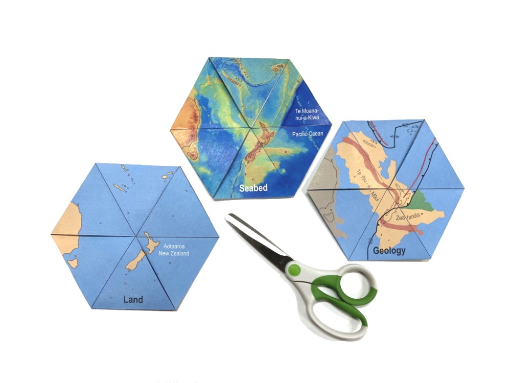
Land, seabed and geology maps of Te Riu-a-Māui / Zealandia: a cut-out trihexaflexagon model
$0.00
Free PDF download (scroll down to view link). This informative and intriguing model switches between three different map views of the southwest Pacific Ocean region.Please sign in or register to purchase this product.
The land map is the most familiar. But there are lots of interesting things hidden under the surface of the ocean. The seabed map reveals the shape of Earth’s solid surface under the sea: large plateaus, ridges, valleys and plains. The geology map shows the extent of our 95% submerged continent Te Riu-a-Maui / Zealandia. Earthquakes and volcanoes are caused by movement on the plate boundary.
Colour print one- or two-sided on A4 or A3 paper and follow the assembly instructions. You’ll need scissors, glue and five minutes to make a model. It takes a bit of practice to flex the maps but it’s easy once you know how.
Download free PDF here.
Author: Nick Mortimer
Year: 2024
Series: GSNZ Miscellaneous Publication
Series volume: 168
ISSN (PDF): 2230-4495
ISBN (PDF): 978-0-473-73277-6

